Who?
Dr. Juan Horrillo, associate professor and leader of the Tsunami Research Group (TRG) at Texas A&M University at Galveston.
What?
Horrillo and his team have developed numerical models that simulate tsunamis caused by large submarine landslides, or those that occur underwater in the Gulf of Mexico. Their 3D and 2D models provide experts, agencies and researchers a valuable tool in evaluating and preparing for tsunamis in the Gulf.
The project is funded by the National Weather Service - National Oceanic and Atmospheric Administration’s National Tsunami Hazard Mitigation Program.
Why it’s so cool:
“This development can save lives,” said Horrillo.
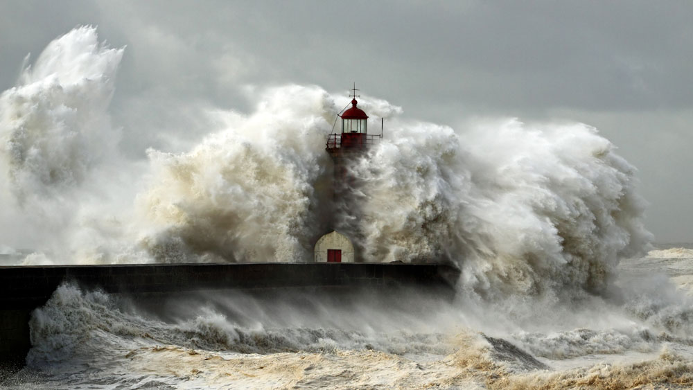
Focused on underwater landslides in the Gulf of Mexico, the TRG’s model assesses tsunami hazard, predicts the time of impact and calculates the wave propagation (how tsunami waves travel across ocean basin) and inundation (flooding) in coastal areas.
All of which are critical for outlining evacuation routes and long-term safety and rescue planning in vulnerable coastal communities, such as those along the Gulf.
“Potential tsunami sources for the Gulf of Mexico are local submarine landslides,” said Horrillo.
He explained that although the probability of a massive underwater landslide in the Gulf is very low, it is still a possibility, thus making it important to be prepared and equipped to handle such a catastrophe, should one occur. Such massive submarine landslides’ footprint would have been large enough to still be seen in the sea bottom of the Gulf of Mexico using modern systems such as Google Earth. These are caused by large amounts of sediment being naturally emptied into the Gulf by rivers and other geological processes.
While it is unlikely that a destructive landslide will occur in the near future, the sediment buildup in the Gulf continues to increase from sources such as the Mississippi River. As the sediment is deposited, the pore pressure of the underlying sediments continues to increase – setting a stage of instability that could set the sediment into motion, sending tsunamis toward the shore.
Based on the Navier-Stokes equations, which describe the motion of waves, the TRG model combines a 3D wave generation with a 2D wave propagation and inundation calculation model to create tsunami hazard map products that are both accurate and easy to understand for local emergency managers, maritime communities and third parties.
Through this, the team is providing a valuable tool not only for research, but safety. With it, experts and agencies can see both the origin point (source) of a tsunami and which areas along the coast will be most impacted. In turn, this allows them the chance to run simulation after simulation and base their evacuation strategies on objective, interpretable data gathered from previous tsunamis as well as prepare for future events before disaster strikes.