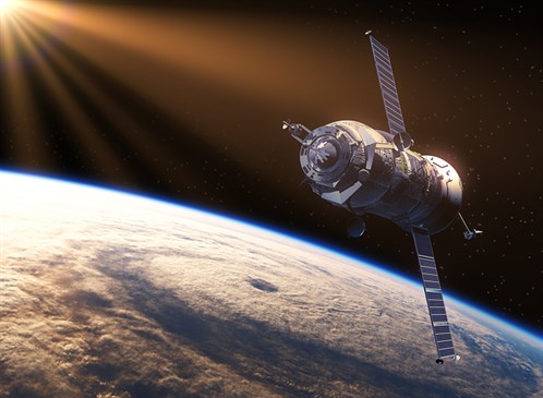
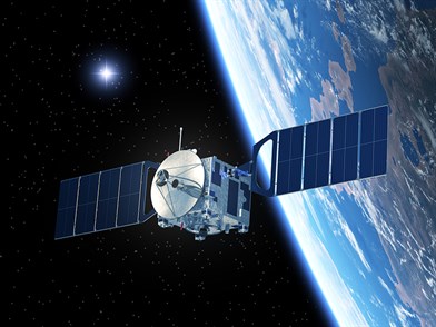
Roughly 1,400 satellites surround the word today, with 500 of those launched by the United States. While they all have various duties and capabilities, it is of utmost importance to correctly and efficiently identify the appropriate satellite for every job.
“Some are used for national security and some are launched by private companies for collecting data,” said Dr. Lewis Ntaimo, associate professor in the Department of Industrial and Systems Engineering at Texas A&M University. “There are a lot of companies that have invested in collecting data for natural disasters such as floods, hurricanes and tornadoes.”
There are many instances in which satellites can be used to help the Earth’s population. In a natural disaster, such as a wildfire or flood, real-time satellite images can be helpful in determining the extent of damage during and after the disaster, or where the fire front is and where it is heading.
“To get that done, we need to basically select and control the satellites to focus on those areas,” Ntaimo said. “The challenge is that we may not have good weather or the time, especially for the viewing satellites.”
With each satellite having different capabilities, the problem occurs when selecting the appropriate one to capture the specific data that is needed.
“This problem is very difficult because you have a constellation of satellites, then you have to select from those and schedule them to focus on a specific area at a particular time,” Ntaimo explained. “Our task is to model this problem as a mathematical program. We are given a set of satellites and their capabilities, and time windows for activities that we want to capture data from.”
One such activity could be a wildfire in a specific state. To accurately assess the widespread damage, satellite images are a great way to compare how the wildfire has spread from day-to-day. Therefore, the satellites must be programmed several hours in advance to allow time for them to properly orient and figure out the best location for the images to be captured from.
“We also need to know the weather information and how it may affect the satellites for the given time window to maximize the quality of the images we are going to get,” Ntaimo said. “So, if you assume the weather is going to be perfect, the problem is still difficult because of the combinatorial nature due to the number of choices you have to select from.”
Unfortunately, there are limited instances in which the weather is perfect and cooperative with the activities being captured.
“This is where I come in,” Ntaimo said. “My expertise is more on how you handle decision making when you have random data. That’s kind of my main thrust on this particular project.”
To add to the multitude of possible hiccups when selecting the best satellite, periodical maintenance must also be performed on the machines. This schedule of maintenance and recalibration must also be taken into account. Additionally, the human aspect of the operators must be figured in. The model will be a gauge for those operating the satellite because they will make the final decision on which satellite is assigned to the particular activity.
 “So, we are looking at different types of activities while we are trying to collect data,” Ntaimo said. “At any given time, we input the current data, then we solve with the formulation developed. It captures all the different intricacies and then we optimize it. This will give you the best possible solutions.”
Private companies are becoming increasingly interested in using satellites to capture information regarding a certain area in the world.
“This could be an oil rig company that wants to know what the weather will be doing two hours from now in the area of one of their rigs,” Ntaimo said. “The satellite companies then charge the private companies fees in exchange for the information. It is a big industry that I was not even aware of myself until I got the exposure from this project.”
This is a collaborative project with Dr. Swaroop Darbha, professor in the Department of Mechanical Engineering at Texas A&M, Dr. Sivakumar Rathinam, associate professor in mechanical engineering, and Sandia National Laboratories.
“Along with our students, we worked on the deterministic version of the satellite scheduling problem and developed some fast heuristics to find good feasible solutions for large scale scenarios with eight satellites and more than a thousand sensing activities,” said Rathinam, who is also an investigator in the project.