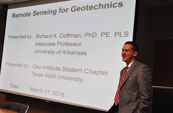
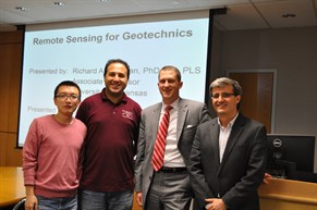
 Richard Coffman, associate professor at the University of Arkansas, presented on remote sensing for geotechnics on March 11 to the Zachry Department of Civil Engineering’s Geo-Institute student chapter. His visit was funded by the SEC Travel Grant.
Coffman's visit aimed at establishing further research collaboration with Dr. Marcelo Sanchez, associate professor with the Zachry Department of Civil Engineering and Coffman's faculty host, and also with the other geotechnical faculty in the department.
Due to recent advances in increased sensor capabilities, applicability to solving problems and seamless integration into Geographical Information Systems, remote sensing has become an essential tool in many fields of engineering. Although in situ measurements of soil properties are still the most commonly acquired measurements in geotechnical engineering, the use of remote sensing is a viable alternative/supplement for monitoring geotechnical related phenomena.
Because many remote sensing platforms are satellite-based and collect data on regular intervals, remotely sensed data may be utilized to look back in time to examine the development of a problem. Several case histories that document the use of satellite-based or ground-based remote sensing for monitoring of tunnel induced displacements, dam movement, man-made slopes and expansive soils were presented.
Coffman received his bachelor’s degree in civil engineering from the University of Wyoming in 2002, his master’s degree in civil engineering from the University of Texas at Austin in 2003, and his doctoral degree in civil engineering from the University of Missouri-Columbia in 2009.
He is a licensed professional engineer in the states of Arkansas and Missouri, and is a licensed professional land surveyor in the state of Missouri. He is a member of the Deep Foundations Institute, the American Society of Civil Engineers, the American Society of Testing and Materials, and the United States Society on Dams. Coffman’s research focuses on soil behavior (laboratory and field testing of soils and deep foundations) and on remote sensing applications within geotechnical engineering.